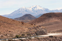
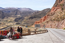
Chile's Route 11 connects Arica with Paso Chungara-Tambo Quemado at the Bolivian border and is one of Bolivia's main
connections to the Pacific Ocean.
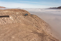
The 200 km long road climbs from sea level to a breathtaking 4000+ meters.
Starting just
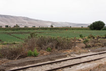
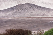
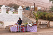
north of Arica, Route 11 first follows the fertile Lluta River valley, once part of a trade route of the Tiwanaku Empire. Some of
the hills here are decorated with mysterious geoglyphs that may well be more then 1500 years old.
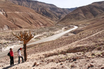
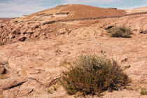
After 40 km the road leaves the valley
and climbs into mountainous territory where it cuts through the Quebrada de Cardones Natural Monument, featuring several of the endangered Browningia Candelaris. These long-lived cacti can grow to an imposing height of 6 meters!
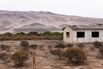
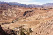
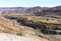
Further along the road sit
the remains of the 12th century Pukara de Copaquilla fortress, built to protect the farmlands at the banks of the Rio Seco way down
in the canyon.
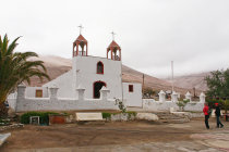
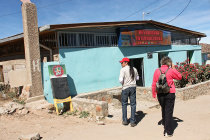
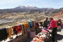
After 130 km the road reaches Putre, the area's main town, and then continues through Lauca National Park to the
Bolivian border.
We traveled this very scenic road from Arica to Putre at the end of August 2011.