the ferry is named after an ancient village on Amelân that was swallowed by the sea
the ferry over the Waddenzee from Holwerd to Amelân
People have tinkered with the coastline here since
pre-historic times. By building
terps and dykes they not only could protect themselves again high water but they could also claim
the fertile land from the sea.
The shallow area between the islands and the mainland is very dynamic with ever changing
marshes, mudflats and tidal creeks.
Sediments flow in and out with the tides, creating a rich habitat for birds and seals.
Ferries
connect the Wadden Islands with the mainland. These vessels have to negotiate narrow and winding channels that provide just
enough draught to pass safely at low tide. The channels are dredged continuously to prevent silting up.
The ferry to Amelân starts
at the Holwerd pier and the 45 minutes ride is a nice opportunity to see Mother Nature at work in this dynamic environment.
We took
the Sier ferry in July 2017.


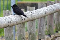
this Jackdaw needs no ferry, it has its own means of transport
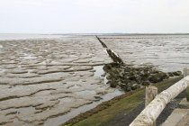
a view over the mud flats
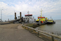
at the pier, waiting for the ferry
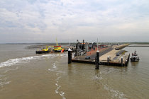
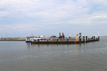
we approach the pier of Nes
buoys mark the narrow and winding channel
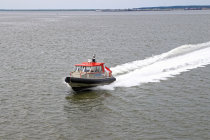
this watertaxi is for those of us that think they are in a hurry and pay for it
no stress here
leaving the Holwerd pier


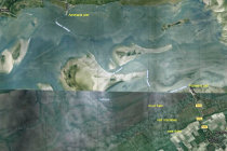
the trajectory of the ferry-channel from Holwerd to Amelân
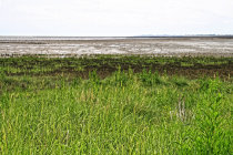
outside the sea-dyke you can see the changeover from salt marsh to mudflat
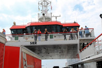
the ferry has arrived, time to board
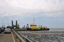
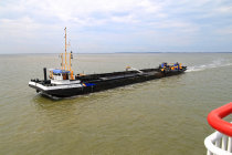
this ship's sole mission is to dredge and keep the channel open for traffic
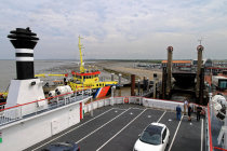
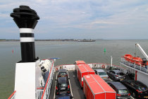
time to board the car and explore the island
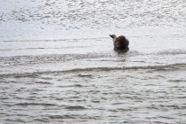
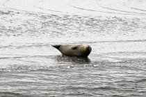
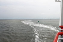
a seal is resting on a mudbank
